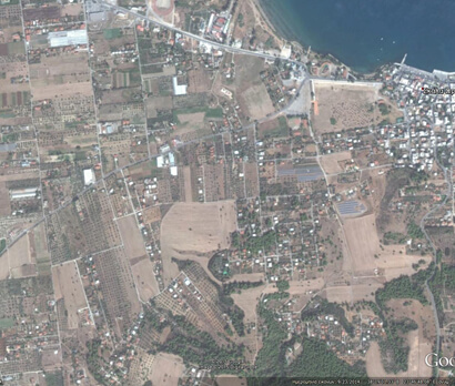
Project : Extension of the layout plan of Skala Oropou and definition of Construction conditions.
Main project : Municipality of Oropos
Date : 2006
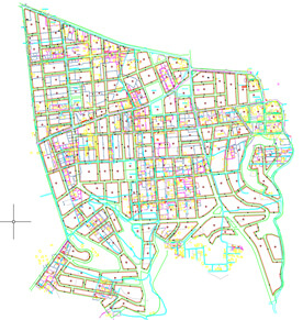
Description : A topographic survey and Cadastre of a total area of 2,100 acres was carried out, as well as the implementation of the landscape plan of the entire area. The work done to complete the project was:
- Triangulation
- Polygonometry
- Topographical impression
- Land registration
- Implementation of a zoning plan
The project has been implemented and is in use.