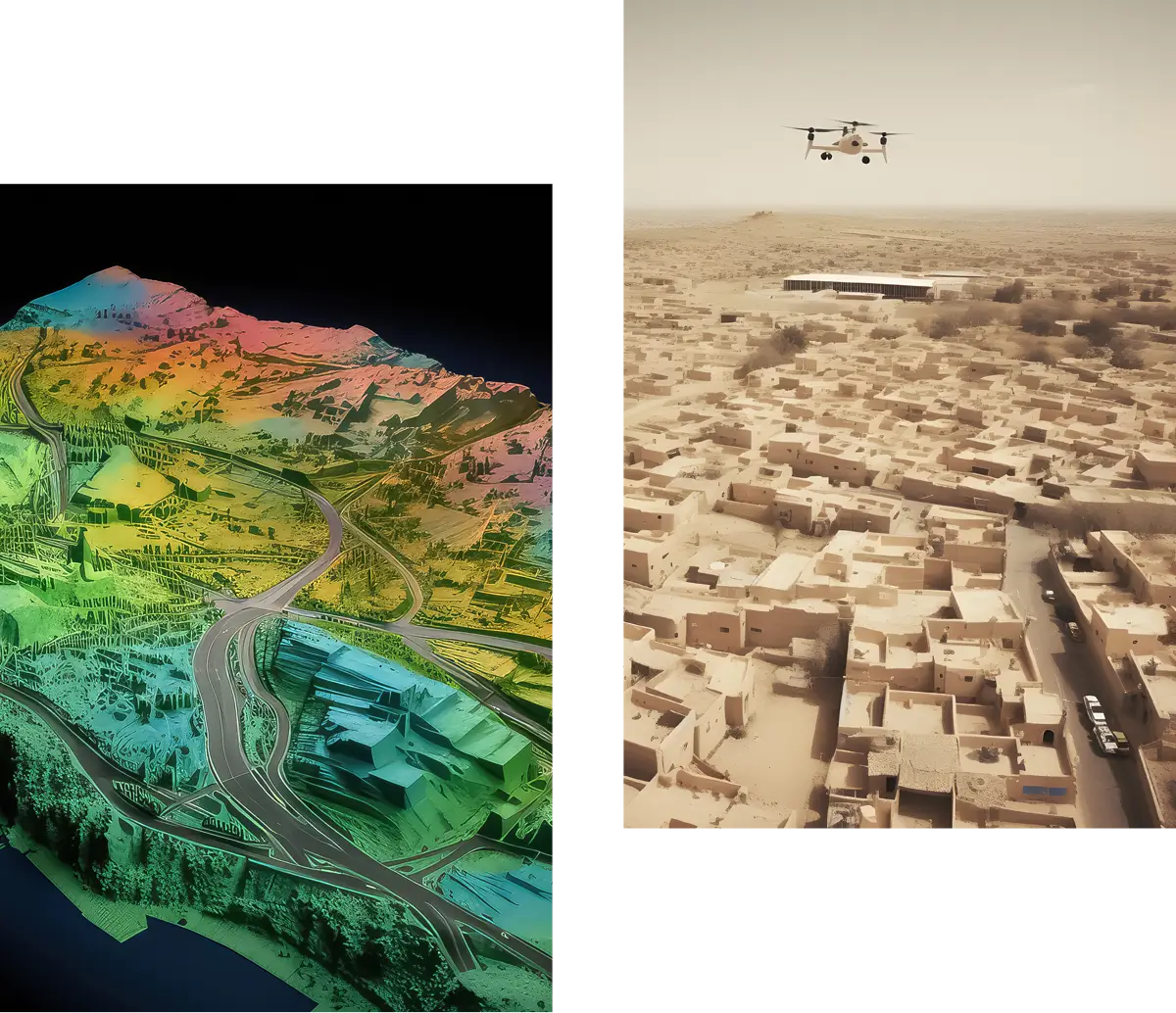
The evolution of technologies, the use of satellite systems, and the accessibility of unmanned aerial vehicles have led the field of topography to new challenges and prospects in the area of infrastructure and information.
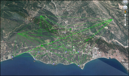
ORIO Meletitiki E.E., keeping up with the latest developments and utilizing state-of-the-art equipment, fully caters to the support needs for studies of technical projects such as hydraulic, transportation, and port projects.
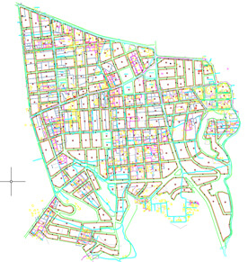
Our company participates in the 4th generation cadastre and undertakes the work for the completion of the national land registry in the regional units of Kos, Rhodes, Kalymnos, and Karpathos.